Red_desert
Gold Member
- Feb 21, 2008
- 6,857
- 3,507
- Detector(s) used
- Garrett Ace 250/GTA 1,000; Fisher Gold Bug-2; Gemini-3; Unique Design L-Rods
- Primary Interest:
- All Treasure Hunting
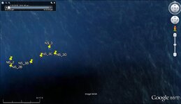
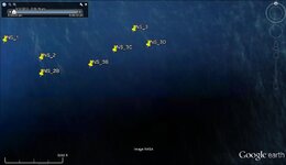
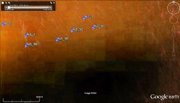
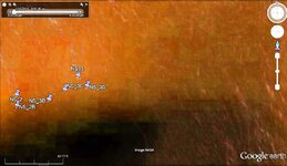
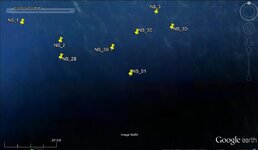
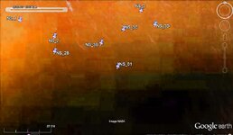
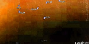
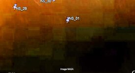
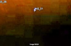
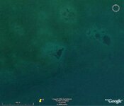
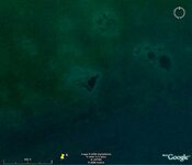
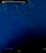
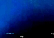
Well, this looks like it can work for following the edge of reefs, the search depth is going to be much deeper than I'd expected. A couple tiny very small clouds or waves on the water, caused the white spots.


Attachments


Last edited: