A dragline ? An actual dragline and not a slusher or slusher bucket ?
I work at a mine that has 3 draglines and I cant even envision such up there.
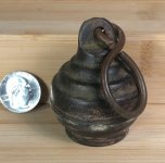
Gonna have to see a picture of that critter.
I work at a mine that has 3 draglines and I cant even envision such up there.
Gonna have to see a picture of that critter.