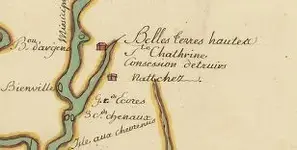
Dennis, there are a group of Andrew Jackson maps that are mentioned I think as being his battle maps for the Southern part of the 1812 campaign, that are in the Library of Congress. They are a part of the "Blair Collection", and as best I can determine the only way to see them is in their "reading room " there at the Library. You can go on line to the Library Site and ask questions of them and get all kinds of info. They have had the maps for several years now, and I even saw a few years ago, a comercial map site that had the maps for sale. Can't figure that ?? I asked the lady (at the Library)when and if ever they would put the maps on line and she said they were working on it. That was 5-6 years ago, or longer. I sort of complained to her that they put maps of far away places no one ever even heard of on line and that I thought it might serve folks better to put maps of more interest and pertaining to our own history, than some of the questionable (to me anyway) stuff they have on line. They have in a vague sort of way on their web site stated that the Jackson maps can be viewed on line , but every time I attempted to do so all I ever got was dead ends, and repeated instructions. Anyhow, see if you can get a copy of "Smith College Studies in History" . It is Major Howell Tatum's Journal. He was one of Jackson 's Topographical Engineers (1814) and gives his account of traveling from Mobile with the troops on the way the Battle of New Orleans. Interesting reading.There was plenty of activity early on of Troop movements between Mobile and Natchez , but any maps they used are rare to non existant. Good Luck, Cass


