Macky is right...
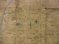
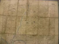
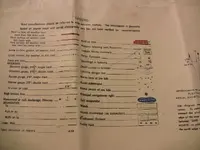
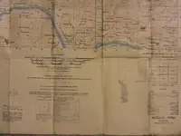
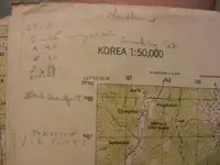
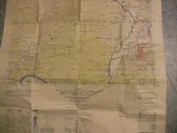
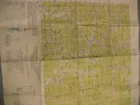
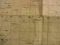
You have a mil-spec map of the Korean Masogu-Ri area (1:50,000). It was probebly used by millitary operations planners mapping a route just like mackydon said. Of course, you left out the information we would really need to date the map, like a nice picture of the legend, or the date it was printed. It looks like some basic patrol planning or vehicle route showing a few phase lines and maybe a rally point or two.