Captain Kidd, Oak Island Etc 1866.

jeff of pa

Super Moderator
⛭ Moderator
🥇 Charter Member
Joined
Dec 19, 2003
Messages
90,037
Reaction score
65,659
Golden Thread
2
🥇 Banner finds
1
🏆 Honorable Mentions:
1
Primary Interest:
All Treasure Hunting
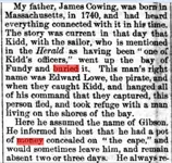
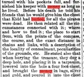
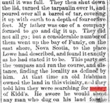
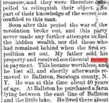
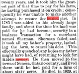
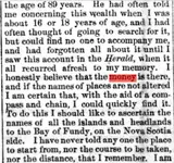
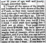
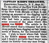
The Montana post. (Virginia City, Montana Territory [i.e. Mont.]), 27 Oct. 1866.
000aaa.webp
000bbb.webp
000ccc.webp
000ddd.webp
000eee.webp
000fff.webp
000ggg.webp
000hhh.webp
000iii.webp

The Montana post. (Virginia City, Montana Territory [i.e. Mont.]) 1864-1869, October 27, 1866, Image 1 « Chronicling America « Library of Congress
 

Totally agree with the TV. CRAP sentiments.Kidd was hung at Tilbury point, London England in May 1701.
The treasure he buried on Gardiners island, was recovered and sent back to England. As Kidd was found guilty his treasure was auctioned before the mast. The monies raised went towards the construction of Greewnwich hospital England. Where G.M.T. is calculated around the world.
 

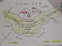
Capt. Kidds' China Sea Chart.

2017-10-10 20.47.59.webp2017-10-16 19.20.42.webp

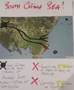
This is my interpretation of Kidds' China Sea Chart!
I am not an expert on Kidd.
However if the uploaded charts are viewable...then you have the best published solution to one of his charts. Regards Kevin.
 

Off the coast of Vietnam?
 

Yes! The Mekong Delta.
If the chart is genuine? Then a navigator would draw a chart of the local area...with a distinguishable fixed landmark. Whoever drew this chart has given that picture as the lagoon.
 

The Capital of Cambodia in the 17th century was Angkor Wat...which sits on the lake at the head of the Mekong...the "Dot" on the wavy line touching the "L" & "A" making the 4 tributaries of the Mekong. Also no one could fix the given latitude to the island in the foreground! 2 reasons for that. 1. It is'nt there, it's the island to the N.E. with a silhouette of a horse or cow behind it. 2. The given latitude of 9.16 degrees north matches the mouth of the Mekong @ the "L", where it joins the South China Sea.!
That's the fixed point the navigator has given the rest of the picture unfolds from there!. Compare the chart to the Google earth photo. Regards Kevin.
I"m expecting you to understand my 30 yrs of research in 2 mins. Sorry.
 

Last edited:
My apologies, the "TU"of the 20 turtles....is the No. 2 the last number of the longitude.The "W"s, of the words "Woods" on the chart. Relate to 3.32 degrees east of the "Dot"...or Lake at the head of the Mekong..... that is 3.32 east of the 17th century city of Anghor Wat. So the latitude is the mouth of the river from which you can work out the local Longitude.! Of the island to the N.E.
 

Last edited:
Yes! The Mekong Delta.
If the chart is genuine? Then a navigator would draw a chart of the local area...with a distinguishable fixed landmark. Whoever drew this chart has given that picture as the lagoon.

Actually the compass reading you are giving is in the NorthWest Section of Nigeria, Africa. You need to check the compass readings.
 

The Latitude 3.32 degrees East....is a Local latitude. Given from the Dot....Angkor Wat. To the Island. Remember Longitude could not be worked out with any accuracy until the introduction of a time piece accurate enough to keep time over 1000s of miles. So any longitude shown has to be LOCAL FROM A GIVEN LANDMARK OR PLACE.That's where people including myself had been going wrong.
 

Last edited:
I believe the story from day one. Due to water floods, no treasures will be recovered by the brothers.
 

Top Member Reactions

Users who are viewing this thread

Latest Discussions

Back
Top Bottom