minerrick
Sr. Member
- Joined
- Feb 18, 2013
- Messages
- 277
- Reaction score
- 358
- Golden Thread
- 0
- Detector(s) used
- Makro Racer
- Primary Interest:
- All Treasure Hunting
- #1
Thread Owner
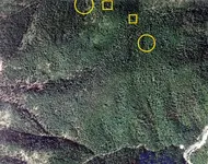
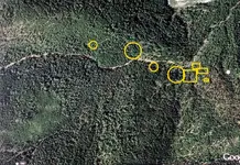
Bedrock Bubba tells me I can post photos here and you dowsing guys can give me a heads up on what you sense. Is this true? I have a couple of areas I am curious about.