What's new

Dredgings of the past?

Gravelwasher

Hero Member
Joined
Jan 3, 2011
Messages
523
Reaction score
689
Golden Thread
1
Location
El Dorado County
🥇 Banner finds
1
Detector(s) used
Minelab
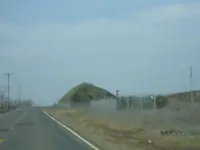
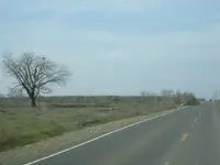
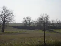
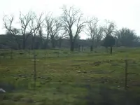
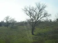
Took some pictures of old tailing piles, thought I should share them and see if anyone knows about them. The pictures were taken by white rock road in rancho cordova, near Sacramento. Enjoy, Gravelwasher
 

Attachments

  • tree growing.webp
    tree growing.webp
    34.8 KB · Views: 432
  • mound.webp
    mound.webp
    7.5 KB · Views: 429
  • far long tail.webp
    far long tail.webp
    17.6 KB · Views: 420
  • cut in ground.webp
    cut in ground.webp
    32.1 KB · Views: 418
  • close up rocks.webp
    close up rocks.webp
    73.2 KB · Views: 399
  • close up trees piles.webp
    close up trees piles.webp
    35.6 KB · Views: 405
Just curious about the area and its past, if you understand where they found gold in the past and how it gives you a better idea where to hunt today. I have no intentions of crossing those fences. Thanks Gravelwasher
 
I would be looking to find the owner and get permission, You never know...
 
BUCKET LINE DREDGING DONE UP INTO THE 1950'S(Dang caps lock!!)I guess there is a remote chance one could find a large piece as there punchplates were around 3",but as in most of the areas they used those it was the settleout,from the ancient river channels and usually some distance from the source so it was small gold.Thats why they moved the massive amounts of ground they did so it would pay :thumbsup:Lots of info and pics on them in local museums and historical societies
 
I think George Wheeldon, the local Placerville geologist, said the gravels, in some areas around the folsom area, went down 700 feet! Only the top 60 feet was mined by the bucket lines. Makes you wonder how much gold is laying down there.
 
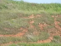
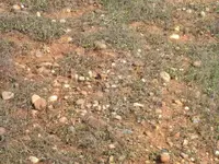
Wow!! 700 feet thick gravel beds sounds awesome, has anyone panned around the Folsom area, like the bike trail, or any of the small creeks? I picked up a pan of dirt near the dredge area where I could see rounded rocks from a river, about a foot down I hit a clay layer so I took all above the clay that I could fit in my super sluice pan. Panned it out and just a speck, I was surprised at the amount of black sand was quite a bit. I want to try an area where I see bigger rocks mixed with gravels and sands but its hard to access. Take a look at some of the rounded rocks mixed in the red clay this is next to the piles of tailings. Gravelwasher
 

Attachments

  • DSC03418.webp
    DSC03418.webp
    100.3 KB · Views: 325
  • DSC03417.webp
    DSC03417.webp
    81.6 KB · Views: 332
I don't know where those pictures were taken ....but seeing all that rounded river rock and red dirt,,,,,,,,,,looks good for fine placer flake...........get a recirculating system......looks like it would be worth the work.....

good luck and HH

db
 

Users who are viewing this thread

Back
Top Bottom