this site has i guess every early map that was drawn of every country on earth. if you donot have a java script browser to view maps you can get it here. on the first page close to the top you will see fetured sites click on david rumsey collection and on his site you can download java. i have used this web and for treasure hunting it can save a lot of time. it has so much it takes a liitle time to find what you want. also there are some vary early topo maps. boomer
UT Library Online - Perry-Casta?eda Map Collection - Historical Map Web Sites
... Military Academy, West Point). Civil War Maps Collection (American Memory) ... Collection). Early America Maps. European Settlements and Indian Tribes, 1750 [East Coast] (Maryland State ...
www.lib.utexas.edu/Libs/PCL/Map_collection/map_sites/hist_sites.html


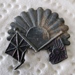
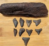
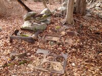
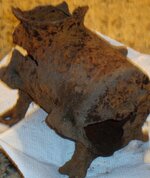
Attachments
-
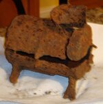
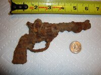
 DSC00950.JPG816.8 KB · Views: 29
 -
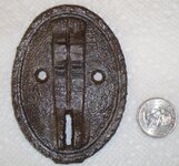
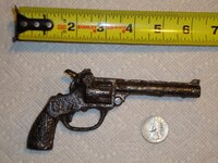
 DSC00949.JPG1 MB · Views: 28
 -
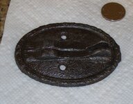
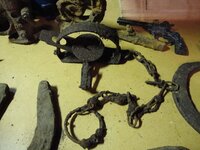
 DSC00953.JPG515.6 KB · Views: 22
 -
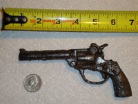
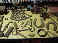
 DSC00952.JPG504 KB · Views: 21
 -
 DSC00960.JPG510.2 KB · Views: 23
 -
 DSC00957.JPG251.4 KB · Views: 16
 -
 DSC00967.JPG1.3 MB · Views: 20
 -
 DSC00961.JPG1.4 MB · Views: 24
 -
 DSC00966.JPG1.4 MB · Views: 22
 -
 DSC00979.JPG1.7 MB · Views: 59
 -
 DSC00976.JPG1.7 MB · Views: 32