Great posts here guys! This is what the forums are all about!
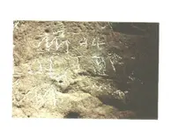
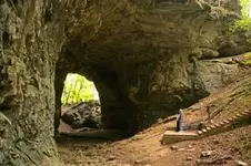
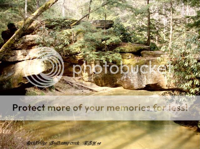
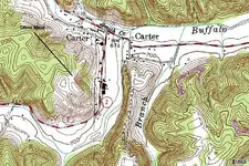
I would like to put in a little bit more for the area around Carter County. The Rock Bridge subject in particular. While it is not a very well known fact that there are at least two existing natural rock bridges in the area, there is one that collapsed after 1928-9 that was huge, in fact suppose to be around 200 feet from the bottom of the creek/river to the top. (Found in old descriptions about the counties). Once again I am not claiming this is the Swift mines, but there sure are a lot of signs he described and no one much has looked near there that I can find out. Not only the signs are there but there has been two counterfeiters, one of which was even in court for counterfeiting in the area. I think he may have found one of the swift mines. There are two sinking creeks near the area I will describe as close to where Caney Creek meets the Little Sandy. There is a really nice light house, a buffalo rock, a haystack rock, the name DAS and 1763 carved on it (Desiree Ann Swift), and as I mentioned in other posts my friend found old money dies wrapped in bearskin and bear grease. I can show you five silver mines in the area. They were defiantly known to the Indians, and I believe Swift knew of them too. I am in the process of documenting everything for a book, unlike someone we know I will share and not discredit your opinions. Analyze my posts and if they help you that is good. I know I appreciate yours!
I also have found the trace that was previously mentioned that goes from Limestone (Maysville) and ends up in the Shawnee town of “Eskippathiki or Eskippakithiki ("blue licks place," for the nearby salt licks along Lulbegrud Creek), was a Shawnee town in what became eastern Clark county. It was also known as Little Pict Town to traders and may have been known to the Iroquois as Kentucky ("meadow lands") from which comes the name of the Kentucky River, which provided access to the town, and from that the name of the state.”
http://www.uky.edu/KentuckyAtlas/ky-eskippathiki.html
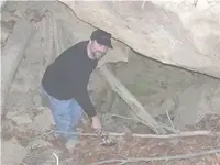
If you are following the Indian traces from the pine mountain or other gaps, you will eventually come to a trail or trace that leads there. Could that be the area Swift comes thru he say where the Mecca Indians were? If so it can be a lead in to the Grayson area and the Little Sandy. Oh, the fact that silver bars found and the silver containing cinders Henson writes about in Carter County? Were there any bars found further West? If not, then we may have the source of the ones found east of the Carter/Elliott county areas. Some other sites may fit but has there been documented evidence of silver bars, ore, cinders, ect. Being found? No heresy like some of our friends, but evidence? I can show you the two monument rocks too. As I mentioned previously the flow of the streams are very important. Swiftsearcher would have to be sure about the descriptions of the water flows and the two monument rocks to convince me he has it…not saying he doesn’t. Again I am not saying for sure that this is the Swift mine area but it sure does have a lot of stuff there. The previous post with me in one of the mines is some evidence of mining. The tailings would fill a barge.