ScubaFinder
Bronze Member
- #1
Thread Owner
Does a map of the East coast of Florida exist that already has the currently held lease areas marked on it? I tried to punch the GPS coordinates of the Fisher leases into Google Earth but it seems to be quite a bit off. Some of the lease areas show to be centered over intercoastal waters or over land. I'm thinking this can't be right...can it? If it's not right, does anyone have a map that shows the areas (not looking for exact coords, just a general idea of what areas are leased and which parts are not.
Thanks,
Jason
Thanks,
Jason


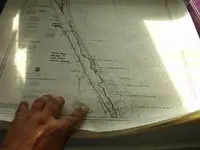


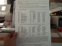

 Some are a rehash of the above, but this is some additional info.
 I'm a little slow sometimes. I need to pick up the USB cable for mine, and will look into the software as well now...thanks!