- Joined
- Nov 9, 2018
- Messages
- 328
- Reaction score
- 736
- Golden Thread
- 0
- Location
- Kingman, AZ
- Detector(s) used
- Fisher Gold Bug Pro
- Primary Interest:
- Prospecting
- #1
Thread Owner
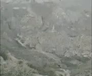
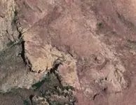
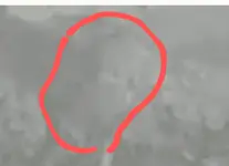
A LDM researcher sent a map to me recently -- a map I had not seen before. The map has the words "Monte de la Coronado" on it. The map is presumed to be one of several maps given to Erwin Ruth, Adolph Ruth's son. The image of the map is very small and becomes pixelized when I enlarge it, making many of the words unreadable. It would be much appreciated if someone can provide a copy of the map that is readable. Any comments about the map's authenticity and what location it depicts would also be appreciated. This map has many features in common with the "Perfil Mapa" and its variations, but the features have been "flipped" left to right. It is different from the "Perfil Mapa" in that "South Sima" is depicted prominently, but "El Sombrero" is minimized. I believe "South Sima" should be spelled "South Cima," since it depicts something like a pinnacle, and "cima" is Spanish for "top." "Sima" is Spanish for "chasm."