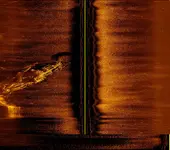
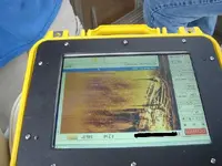
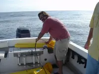
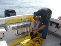
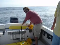
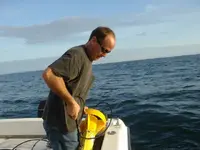
The unit is a Marine Sonic, most of those images were done with a 600 kHz fish.
The depth of the Vesta was only 17 feet, the other wreck was 55 feet.
The altitude of the fish was varied, I did not have an altitude reading because I didn't have the depth recorder (Furuno) tied into it. I'm trying to resolve some cableing issues.
It has it's own DGPS, the layback can be adjusted. It can display the Lat/lon of the boat, the fish, and if you mouse click on a specific point it will give you slant range info, and lat/lon of that point.
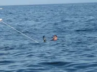
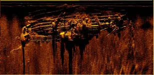
These are not that great of pictures compared to what it can do. The ones with the diver you can see some distortion where the boat was turned during the pass and some heave distortions due to heading directly into the swells. Also, the Vesta scan you can see at the bottom of the image where the boat was turned and the bow got distorted, and then only one channel was selected. The blurry part in the middle of the Vesta is actually nets that have snagged on the wreck. We got some better images using just one channel of the fish, but when I go to change the file type into something I can post here the images get funky, I need to sort this out.


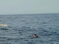


") When we passed over this site on Saturday the color of the water was Coffee and vis was maybe 1-2 ft.
When we passed over this site on Saturday the color of the water was Coffee and vis was maybe 1-2 ft. ")
