Recovering targets using electronic equipment is not always easy...even with caches.
To use a recent example. I won't mention who the T-Net member is, but this is a cache situation. The treasure hunter goes on a trip down to New Orleans vicinity, to search for caches in that boggy soil which old marsh land produced. Anyone who lives down there will know what I'm talking about. The New Orleans area caches have sunk deeper than first buried, to a deeper depth.
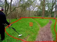
So, I dowse the GE maps, mark the signals of the general area. put placemarks in GE and zoom in more. Dowse them and zoom in very close. Now the treasure hunter has coordinates from the GE placemarks. He goes there with LRLS, 2-box detector, etc. Now the signals are picked up on the equipment. Well, the 4 foot probe doesn't reach, because as mentioned caches in swamp soil can be deep.
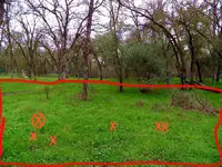
Next camera photos are dowsed where deep LRL signals, come from. Marked signals confirmed, a shallower one a 2-box detector picks up. The signals were dowsed at 8 1/2-11 feet deep. A longer probe is added to the recovery tool list...but, still may not be long enough. Now you also got pulse, LRL, and 2-box equipment and more people to dig. More photos get dowsed, the treasure hunter gets almost between the signals, but equipment detects a large circle of signal. Then there is water pockets down there too. Hopefully they got one of by now.