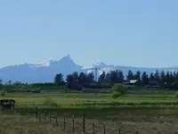
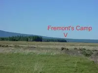
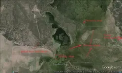
Fremont traveled down the east side of the Cascade Range to Klamath Marsh, where he camped on a point of land that stuck well out into the marsh. At that location the marsh has been drained now, but his camp site is easily located. However, the bad news is there's a federal wildlife reserve right there, and if you pick up an arrow head or break out a detector you will end up in federal prison. It's also the Winema National Forest, and anything over 50 years old, get caught and do time. Probably the most hen house part of Oregon is the Klamath Marsh. At the Marsh camp Fremont fired the cannon to scare the Indians. I never heard that they had a problem with Indians other than that, and in that case the Indians came to their camp the next day, to see what kind of gun they had. Fremont crossed over the marsh and traveled up the Williamson River, and ended up above Summer Lake. They topped out at the top of winter rim in three feet of snow, and the looking down at the lake it was perfect summer weather. Hence the name of the lake. Here are some google earth pictures.
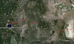
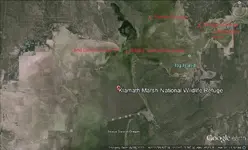
From Summer Lake, Fremont went south into Nevada, through High Rock Canyon, now a BLM wilderness area, crossed the Black Rock Desert, went south along the shore of Pyramid Lake, south to the Carson and Walker rivers, then over Sonora Pass in the winter, where he abandoned his cannon. At the base of Sonora Pass, there is a large meadow named "Pickle Meadows." The marines have a mountain training base there, that I call Fort Pickle, I don't know the real name. But if you decide to go look for Fremont's cannon, you have the United States Marines to deal with. Oh yes, the cannon was found years ago, and the barrel removed. However there might be iron parts of the cannon still there, but again, the Marines probably have something to say about that. Needless to say, I've done a lot of research, and was very disappointed. I've tried to drive to Fremonts camp, there was a road of sorts at the time, but there was a very stout fence, locked gate, and a huge no trespassing sign. That's about all I can tell you. Someplace in my pictures I have a long distance photo of the camp site, taken from the Military Road. Oh yes, the Military road is dirt and deep dust in the summer. It's a road the army built when they were fighting the Indians over east, but that's another very interesting story. If I find the picture I'll post it.


 ...good luck on maps for places Like Jacksonville.As you likely know many towns had later Sanborn maps but I dont think J.Ville ever did?


