Pala Y Pico
Full Member
- Joined
- Jan 18, 2011
- Messages
- 216
- Reaction score
- 15
- Golden Thread
- 0
- Location
- Colorado and New Mexico
- Detector(s) used
- Tesoro Vaquero.
- Primary Interest:
- All Treasure Hunting
- #1
Thread Owner
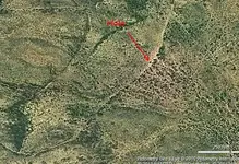
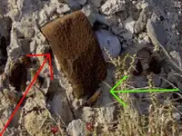
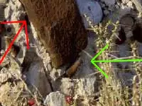
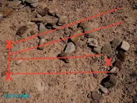
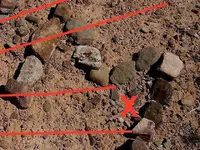
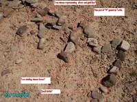
Hello dowsers,
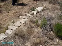
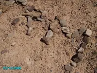
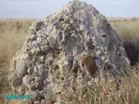
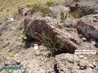
What information do you need to dowse this picture.
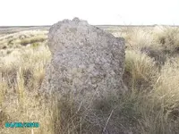
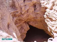
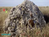
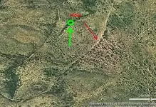
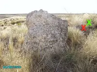
There is a cave entrance as in my Avatar. I marked where I think the hole is, but it might be one of the other dots on the picture.
Thank you.
Pala y pico
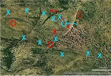
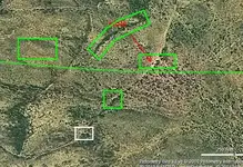
What information do you need to dowse this picture.
There is a cave entrance as in my Avatar. I marked where I think the hole is, but it might be one of the other dots on the picture.
Thank you.
Pala y pico