tamrock
Platinum Member
- #1
Thread Owner
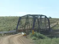
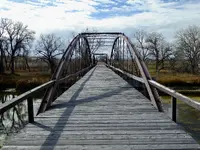
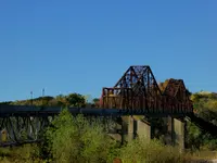
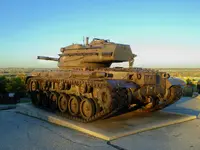
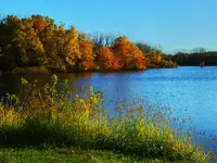
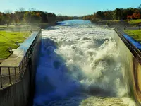
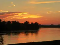
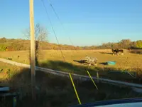
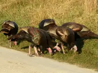
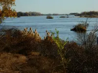
These I took on a trip to Iowa. The first is an old bridge across the Missouri built in 1929 at Plattsmouth Nebraska with an old fella at a tollhouse that collected all of 6 bits to cross the river. I spent the weekend in Des Moines and celebrated my dear mothers 94th birthday with a highlight of a game of bingo with the other residence of the place she's at. On Saturday morning I got up and took a little drive around Saylorville reservoir which is pretty around there this time of the year. The old military tank looks over Camp Dodge, were in 1918 my grandpa entered the army before shipping off to France to fight the Germans in WWI. I took old granddad on a drive out to Camp Dodge around 1975 and he pointed out some of the landmarks he remembered form his time there, that would now be 100 years ago when grandpa first arrived at Camp Dodge Iowa. There's been a bunch of rain within the last couple of weeks and the reservoir was way up and the power of the spillway dumping into the Des Moines river is awesome to sit and watch. The force of the draining water is so strong it actually holds the Des Moines river from falling back up upstream. Sunday night I stayed in Blair Nebraska and saw a contractor early Monday morning, driving a tunnel into a new Limestone deposit there at Ft Calhoun Neb. and took this picture of the sunrise on the Missouri river very close to the jobsite. The old Fort Calhoun was first established in 1855 and was giving it's name in remembrance of John C Calhoun who was VP from 1825 to 1832. Researching Calhoun, I find he seemed to be a typical flip flopping politician as many are. As I left the area I wanted to take Nebraska Hwy 30 as far as Kearney Nebraska. My GPS took me on some back roads through the bluffs to connect to 30 around Blair, Neb. and it was a surprisingly beautiful little side route. As I went around through the winding back roads I saw these horses focus on something below. They were watching some turkey's out feeding in the morning, so I stopped to get a picture of them. At times I'll stop at these places you see along the road that say, Historic Marker ahead. The one I stopped at was a 1/4 mile long section of frontage road to Hwy 30, that was a section of the first US mapped auto highway known as the Lincoln Highway and an old bridge still standing that cross a creek, which I drove across. Last picture is of the Platte river somewhere in the eastern part of Nebraska. It must be six times or more as wide here than where the Platte is just east from my place in Colorado.
Amazon Forum Fav 👍
Attachments
-
 trip 102218 1.webp1.4 MB · Views: 91
 -
 trip 102218 2.webp1.2 MB · Views: 91
 -
 trip 102218 3.webp2.5 MB · Views: 102
 -
 trip 102218 4.webp1.9 MB · Views: 94
 -
 trip 102218 5.webp633.1 KB · Views: 90
 -
 trip 102218 6.webp1.2 MB · Views: 112
 -
 trip 102218 7.webp1 MB · Views: 104
 -
 trip 102218 8.webp1.7 MB · Views: 107
 -
 trip 102218 9.webp2.5 MB · Views: 109


