Barton
Sr. Member
- Joined
- Apr 21, 2005
- Messages
- 449
- Reaction score
- 322
- Golden Thread
- 0
- Location
- Abiquiu, NM
- Detector(s) used
- What ever is needed for the project I am working on--I am a cache hunter
- Primary Interest:
- Cache Hunting
- #1
Thread Owner
Many years ago I was told a story of a Spanish Mine
I was told that on this hill was a Spanish Mine; located on the
south slope of the hill.
To the West of the mine--a short ways--also on the South slope was a spring.
There were also some kivas / camp to the south of the mine on the closest hill to the south.
there may have been a camp in-between the clift / cut
of the mine hill and another hill immediately west of the spring.
The main trail out was to the east--moving on the south side of the mountain--and going down
a wash--along this wash one can see a stone turtle going to the mine---in this wash there may be
a buried treasure room where high grade gold was processed.
South of the mine--in the wash or draw / gully--there is supposed to be a large boulder--
giving directions to the Spanish mine.
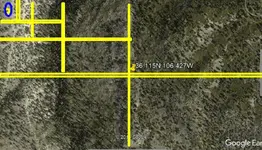
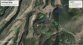
This is the general area of the Spanish mine:
36.115 latitude
106.427 longitude
Using google earth or google maps can any dowsers locate:
mine, camp, spring, boulder in wash giving directions,
Spanish caches near the mine or near the mountain on the
way out to the east by the wash.
I really appreciate the insight of all the dowsers whom assist me.
Barton


