possible interpretations
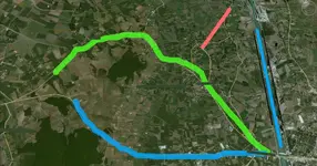
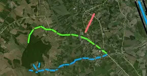
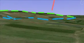
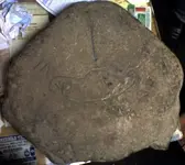
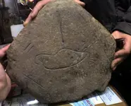
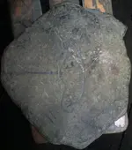
OK Here is a possible interpretation of the map given that i don't know anything about the topography or geography of the area.
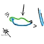
Given my lack of knowledge, i'm going with the idea the the green line represents hills or mountains seen from where you dug up the stone. the blue line is a creek that starts in three branches that come together and flow down and to the right. The green and blue lines meet perhaps at some building or town. ?? The two vertical lines with blue may represent a large river some distance off in that direction. The line down from the top may be like an arrow pointing to the high point of the hills/mountains possibly indicating the location of the treasure.
The sun with line through it may indicate either East (sunrise) or West (sunset). If it represents East, then you should look to the Southwest to see the hills and creek. But, If it represents West, then you should look Northeast to see the hills and creek.
I'm fairly certain that the V and VI are Roman numerals representing 5 and 6. but I don't know if that means miles, or kilometers, or whatever? Also I don't know what they measure....
On the other hand, the green line may represent a road while the blue line represents a creek as before. In this case, the 5 may mean the creek is 5 miles long and the green road is 6 miles long. ??
Anyway, these are some ideas to think about. they may be totally wrong, but...........




 ?
?