Azquester
Bronze Member
- Dec 15, 2006
- 1,736
- 2,596
- Primary Interest:
- All Treasure Hunting
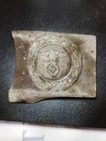
Other stone maps have been discovered at grave sites.
Not something to brag about if that's where they were found.
You would need a cover story.
View attachment 1289843