Oroblanco
Gold Member
- Jan 21, 2005
- 7,838
- 9,830
- Detector(s) used
- Tesoro Lobo Supertraq, (95%) Garrett Scorpion (5%)
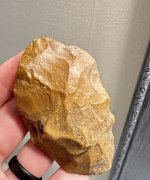
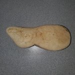
HOO-EE that is a find amigo. Mum is the word though, so anyone else reading this please don't ask. You will all find out soon I hope.
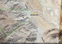
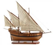
It would make sense if the man who found the Pearl Ship was from California for him to head to his home territory.
Oroblanco
It would make sense if the man who found the Pearl Ship was from California for him to head to his home territory.
Oroblanco


")

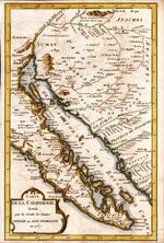
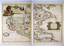
 I say thin ice because there is so little evidence of any Norse visitors to the southwest. We do have the strange story of the Mayo tribe in Mexico, which might be telling of the arrival of Norse colonists who were absorbed into their tribe (this would help explain the common light-colored hair and blue eyes among that tribe) and the story of the people who say they saw a Viking ship in the desert, including supposedly at least one photo. One part of your question I will have to go look up, I just don't know the altitude we are talking about (above sea-level) or the various dates of when the region was flooded. As for the other part - when would the most likely time period be for Norse visitors, I would say it would be between ~980 AD (when the first Norse reports of sightings of the Americas started to float around in Norse lands) and around 50 years after the sudden disappearance of the western Greenland Norse colonies, which was ~1350 AD. In that case up to 4000 people just stepped off into space - the common theories are that they died off in a plague, or they were all killed off by hostile Eskimos, etc but there is pretty much no evidence to support either of those ideas.
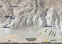


 Not sure how I could justify such a trip, at least not until we have some kind of a shack up to spend next winter in, but the idea is tantalizing!