- Joined
- Nov 9, 2018
- Messages
- 328
- Reaction score
- 736
- Golden Thread
- 0
- Location
- Kingman, AZ
- Detector(s) used
- Fisher Gold Bug Pro
- Primary Interest:
- Prospecting
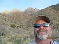
- #1
Thread Owner
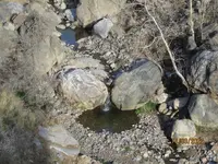
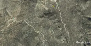
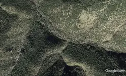
The mine, which Waltzer described as being a cone-shaped pit is supposedly situated in a ravine high on the side of a mountain with the mouth of the mine facing west. Directly across the ravine and facing the east is a rock formation shaped like a face that looks down on the mine. Also across the ravine from the mine there is a cave. On the hillside below the mine there is a horizontal shaft penetrating into the mountain. This uncompleted tunnel was supposedly started by the Mexicans when the pit above became too difficult to work. -- Estee Conatser, "The Sterling Legend", page 30.
Probably just another Google Earth "trick." Don't put on your hiking boots and backpack.


 ? Maybe for a nice tip 😎