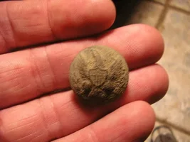
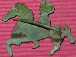
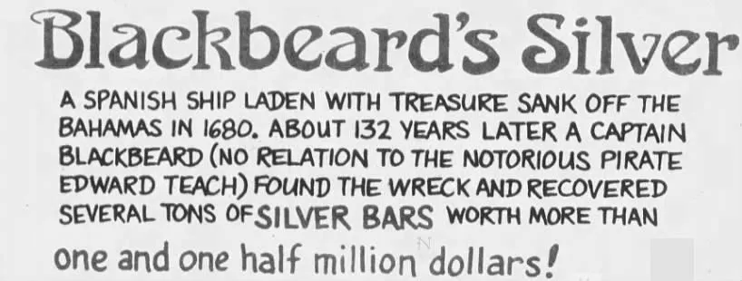
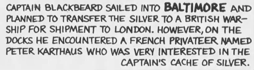
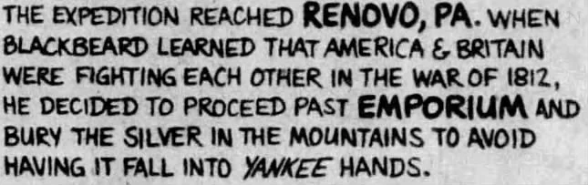
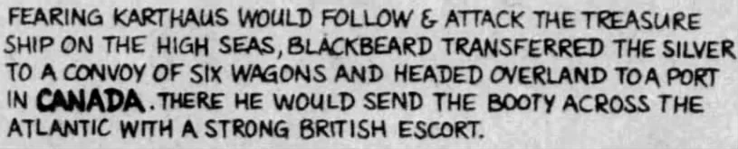
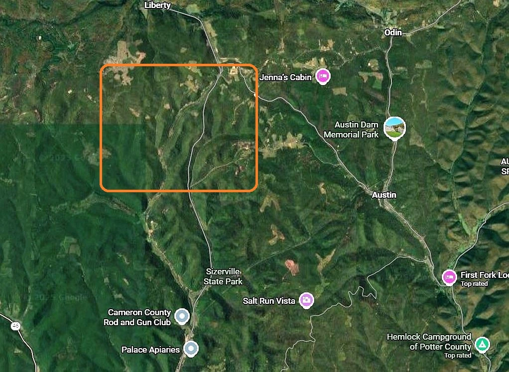
Yes , I have been all over that area , looking for the lost silver bars treasure of Gardeau, Pa. Many years back, I had narrowed down the spot to within about 700 yards. 1/4 way distance between little Parker run and stone chimney hollow paths,, on the upper slope. You have to special order the topographic GREEN map as satellite photo , Quadrant from us Gov. Get also the contrast map at west end of parker run. Figure out the distance with ruler on map. I'm from N.Y. , with bad arthritis and prostate problems. Can't go back there anymore. The main entrance to the 1 1/4 mile dirt road is across from the Gardeau Church with cross at top. You can see the cross on satellite map. The steel deck bridge is over the large creek you have to cross, but many keep out signs. The steel gate may be locked, and is to keep VEHICLES out with sparks. Old logging road , as Parker Run, that used to be called Silvermine run. Parker eventually found the silver horde, removed some bars to build two large buildings in late 1800's. He never told relatives of location. That's WHY, they buried him in mausoleum right next to road , near the Church, The treasure spot was way in behind to the west, ON LEFT SIDE of CREEK!. In 2003, man found 1800's pistol and a few bars on the hill side. Some bars in woods are exposed due to rain, and were actually seen by way out of area hunter, who did not know about the treasure, and saw stack of metal, during rain storm. He told his friends later, but they could not find original path he took back there. Ship chain, over 100years old was cut out of embedded tree. Parker's mineral water well he made extra money from, is on the right side , in stream bed, of spot at intersection of the 1st left path on main Parker run. That hill right there is the beginning, going west. Watch out for coyotes and rattle snakes. Only the hardy and brave can make it. Late spring / fall, is best for hiking. I had Whites metal detector, compass, GPS, folding shovel, back pack and protection. The entrance gate used to be open long ago. The local people around the trailers at main road don't like strangers. They have marked forest hunting areas in behind the trailers. The deer in the woods showed me where the remnants of the old salt lick was! The mushy ground area on right side of creek going back west was it.That was on the original treasure map of Nov 1811.


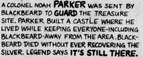

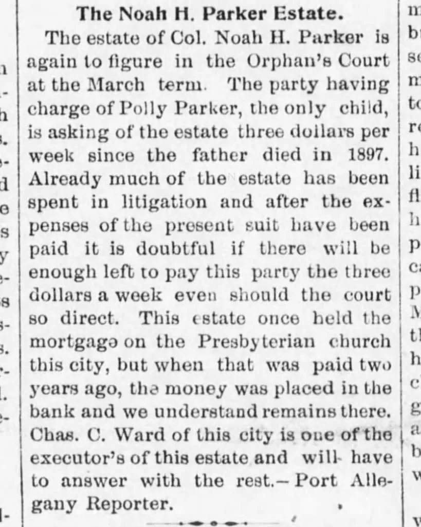

 Say COL PARKER at 87 in 1897 Would have Been born in 1810 ?
  (a 2 Year old Cololnel ? ?