adioesman
Tenderfoot
- Joined
- Nov 23, 2012
- Messages
- 8
- Reaction score
- 0
- Golden Thread
- 0
- Location
- Belitung Island
- Detector(s) used
- Fisher Gold Bug 2
- Primary Interest:
- All Treasure Hunting
- #1
Thread Owner


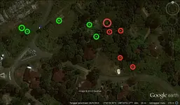
Pic #1
son of a former housekeeper has been told by the son of a former employer to find objects that he had buried in the ground. but not found. the employer simply wants to take a uniform and a medal. Other items that may be taken.
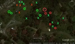
Pic #2
1942, before the Japanese came to this island one of the houses in this picture looks like a busy unpacking floor. outstanding issues are Dutch people buried secret documents.
Thank's