My method is different than coinman123, because I found the functionality of Android based Google Maps, and Google Earth to be somewhat limited, and it didn't really do much for me.
It's really pretty easy, I do it quite often to move intel between my Windows desktop, Windows laptop, Android phone, and Android tablet on the dashboard of my treasuremobile. Once you do it a time or three it only takes seconds.
You'll need to the app Backcountry Navigator available from the Android App Store, and The use of your Google Drive for transfer.
Basically the way I do things is to overlay an image onto Google Earth. Old maps, aerials, etc.
Use Google Earth tools to mark homesites, Building locations, ruins, treelines(old), roads, railroads, etc. Placemarkers, lines, shapes, circles, etc. You can also enter notes, about all these things.
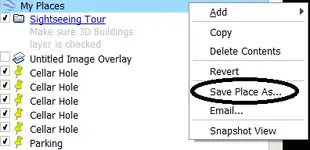
Export that data as a KML file.
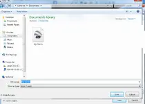
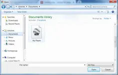
Save that file to my Google Drive. Now I can move it to any device I want to.
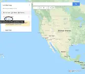
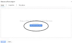
Download the KML file to whatever device you want it on, and Import the information using the appropriate program.
This method can usually bring me within sight of a cellar hole, Keep me within boundarys of yards and clearings long since gone, follow railroads with no visible beds. I use it in some fashion every weekend.
This works in reverse too. I can mark waypoints, record tracks, make notes on the hoof with my tablet or phone, and bring them to Google earth .
Better Instruction will be lengthy and take some time, but if yall would like them, I'll edit this post to make it better.


