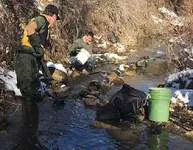
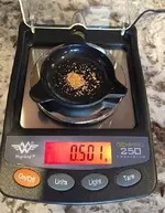
Had yet another sunny, warm day in Colorado, so I got out for a few hours digging the streams for that yellow stuff.
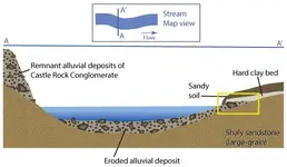
I'm going to try and provide a little more information about the spots I am prospecting - for this post I tried to create a reasonable cross-section of the stream where I'm digging. The illustration shows the stream in map view, where I'm digging on inside bend, stream bed stratigraphy, and where I was finding gold.
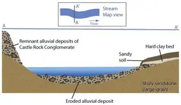
The source of the gold is the Castle Rock Conglomerate formation, of which there are remnants at this location and outcrops upstream from this spot. The stream bed at this inside bend is made up of coarse sands, gravels, cobbles, and fairly large rocks (some as large as 1'-2' in size). The larger rocks provide decent traps for the gold, especially along the inside bend. At this spot, there is an outcropping of bedrock (shaly sandstone) that is one to two feet below the gravels.
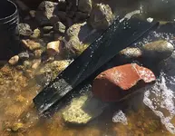
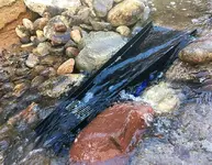
You can see the sandstone outcrop in this photo of the Bazooka in the stream (upper left corner).
As one would expect, the gold was more concentrated in the gravels towards the inside bend of the stream - from about mid-stream to the point bar. However, there was color in my test pans along the cut-bank side within the gravels sitting right on top of the bedrock. I scraped off the top few inches of the course sandstone and found nice color in it also. The other material holding gold was the few inches of sandy soil sitting on top of the hard clay layer covering part of the inside bend. This actually has some really nice color. Unfortunately, the clay layer in other sections of this creek is really soft and is hard to scrape off material above it.
Was out for about two and a half hours, and cleaned out the Bazooka three times - mostly just to see if I was still on the gold as I dug across the creek, and then working the material above the clay bed.
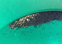
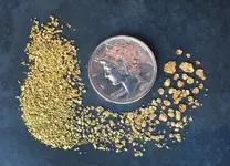
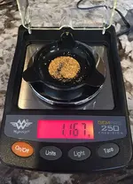
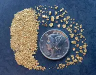
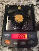
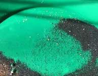
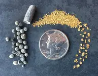
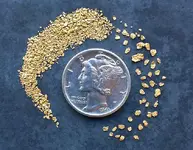
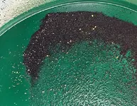
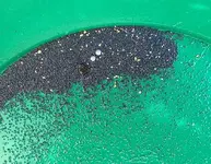
Photos of cons from three clean-outs:
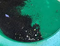
Will process the cons by end of week and post...

