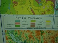
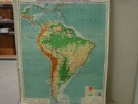
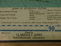
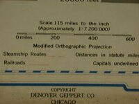
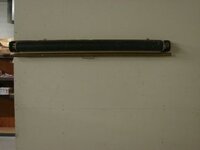
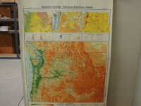
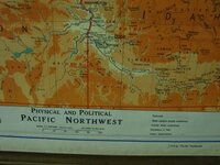
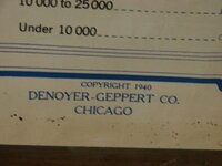
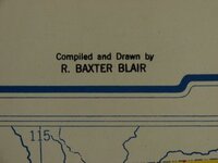
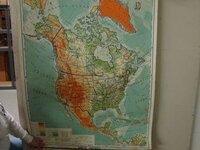
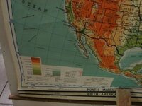
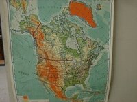
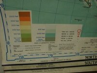
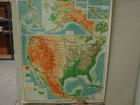
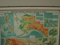
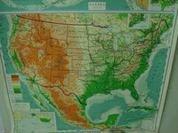
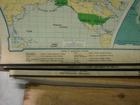
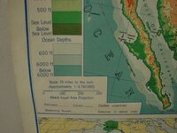
Our shipping guy George got this from the one room school house he went to as a child near Yakima WA.....yeah, he is older than dirt! ") lol Actually it was in the 40's but anyway, he got this map from that school and said he is thinking of getting rid of it but does not know what it is worth. I tried finding out on Ebay but did not find anything similar when I searched. The map has 4 pages, one of the United States, South America, North America, then one of the Pacific Northwest. I noticed on the one of the Pacific Northwest the map only shows Hwy 26 going from Portland to Government Camp then nothing between there and Madras through the Warm Springs Indian Reservation. Lots of changes since then. Anyway, figured folks would get a kick out of seeing the old map and maybe someone would have some ideas as to value on it.
lol Actually it was in the 40's but anyway, he got this map from that school and said he is thinking of getting rid of it but does not know what it is worth. I tried finding out on Ebay but did not find anything similar when I searched. The map has 4 pages, one of the United States, South America, North America, then one of the Pacific Northwest. I noticed on the one of the Pacific Northwest the map only shows Hwy 26 going from Portland to Government Camp then nothing between there and Madras through the Warm Springs Indian Reservation. Lots of changes since then. Anyway, figured folks would get a kick out of seeing the old map and maybe someone would have some ideas as to value on it.
lol Actually it was in the 40's but anyway, he got this map from that school and said he is thinking of getting rid of it but does not know what it is worth. I tried finding out on Ebay but did not find anything similar when I searched. The map has 4 pages, one of the United States, South America, North America, then one of the Pacific Northwest. I noticed on the one of the Pacific Northwest the map only shows Hwy 26 going from Portland to Government Camp then nothing between there and Madras through the Warm Springs Indian Reservation. Lots of changes since then. Anyway, figured folks would get a kick out of seeing the old map and maybe someone would have some ideas as to value on it.

Attachments
-
 DSC01607.JPG20.3 KB · Views: 491
 -
 DSC01615.JPG16.4 KB · Views: 490
 -
 DSC01614.JPG18.3 KB · Views: 471
 -
 DSC01613.JPG14.1 KB · Views: 474
 -
 DSC01604.JPG7.9 KB · Views: 497
 -
 DSC01605.JPG17.5 KB · Views: 510
 -
 DSC01606.JPG20.3 KB · Views: 493
 -
 DSC01607.JPG20.3 KB · Views: 492
 -
 DSC01608.JPG17.9 KB · Views: 508
 -
 DSC01609.JPG19.3 KB · Views: 526
 -
 DSC01607.JPG20.3 KB · Views: 485
 -
 DSC01611.JPG13.4 KB · Views: 478
 -
 DSC01612.JPG11.7 KB · Views: 489
")
 I had not even noticed that Edde!
