- Joined
- Jan 6, 2006
- Messages
- 20,844
- Reaction score
- 2,534
- Golden Thread
- 0
- Location
- SE Louisiana
- 🏆 Honorable Mentions:
- 1
- Detector(s) used
- Garrett AT Pro, Ace 250 & Ace 400
- Primary Interest:
- All Treasure Hunting
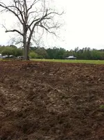
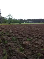
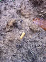
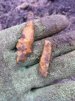
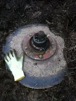
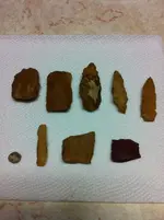
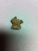
Google map location of my Indian artifact field. Satellite photo taken some time last summer...if you find the river on the right side of the page & the brownish colored square next to the pond, that's my field. Currently that is planted over, I have a new field on the north side of the pond. Disked 1st time Sat, Mar 30th. Was using the turning disk til a blade came off. Rained Sunday & Tues...I'll post what I found so far. Got to run the row maker, disk again, then run harrows over it & wait for another rain. From what I found so far, I'm pretty sure it's gonna be a productive field.
Google Maps
Google Maps


Amazon Forum Fav 👍
Last edited:
Upvote
0


