- #1
Thread Owner
For all you still wondering what is occurring. a. A copy of circulating treasure map was used/interpreted for the location to dig.
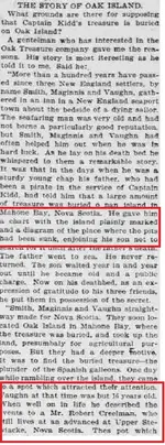
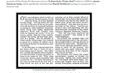
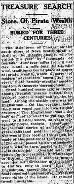
(By the way the second evidential example/image is from Blockhouse Investigations, the local 'experts' who will then tell you they know nothing about what they published, you'll find lots more *if you actually look*).
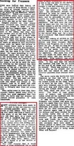
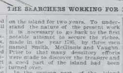
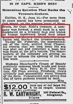
b. It was and is well known and reported about. Copies of 'the treasure map' was used to determine likely spots to dig. However from the late 1960s, those who took over the franchise removed this from the way they related the story. The current searchers/promoters know and used it and are still using it.
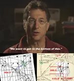
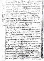
C. Here is Robert Restall's own survey map.
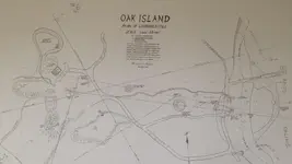
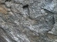
That is him transferring the 'treasure map' information to a ground plot. I draw your attention to the monument pin he set down to ensure the exact heading of the bearing to determine the grid line/magnetic heading/bearing line intersection to plot the position of where they should dig. The 'Stone Triangle' was the pointer to show the magnetic to grid divergence for when they were plotting the map's triangle onto the land. Didn't they tell you that?
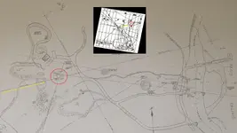
c. So forget all the silly theories and ideas of why and where, since the beginning this 'treasure map' was used and is still being used. They just haven't told you about it or show it or will be showing it as it gives the game away for the TV show.
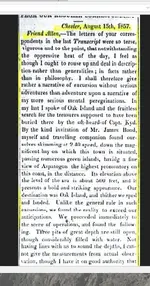
d. If you can't get your mind around how badly you have been misled about the 'non'-mystery of it, I suggest you go to one of the many online library archive sites and simply type 'Oak island, nova scotia, treasure map' and you can read for yourself it being reported on until the late 1960s. Or take your own copy of the treasure map and see how all the historical excavation points relate to some feature from the map.
*PS. Who in their right mind here believed the story that Borehole 10X was sited because Dan Blankenship dowsed it? Come on, put your hand up, you just accepted it. Ever check the 'treasure map' to see if the position of 10X might relate to some feature on it?


(By the way the second evidential example/image is from Blockhouse Investigations, the local 'experts' who will then tell you they know nothing about what they published, you'll find lots more *if you actually look*).
b. It was and is well known and reported about. Copies of 'the treasure map' was used to determine likely spots to dig. However from the late 1960s, those who took over the franchise removed this from the way they related the story. The current searchers/promoters know and used it and are still using it.
C. Here is Robert Restall's own survey map.

That is him transferring the 'treasure map' information to a ground plot. I draw your attention to the monument pin he set down to ensure the exact heading of the bearing to determine the grid line/magnetic heading/bearing line intersection to plot the position of where they should dig. The 'Stone Triangle' was the pointer to show the magnetic to grid divergence for when they were plotting the map's triangle onto the land. Didn't they tell you that?

c. So forget all the silly theories and ideas of why and where, since the beginning this 'treasure map' was used and is still being used. They just haven't told you about it or show it or will be showing it as it gives the game away for the TV show.
d. If you can't get your mind around how badly you have been misled about the 'non'-mystery of it, I suggest you go to one of the many online library archive sites and simply type 'Oak island, nova scotia, treasure map' and you can read for yourself it being reported on until the late 1960s. Or take your own copy of the treasure map and see how all the historical excavation points relate to some feature from the map.
*PS. Who in their right mind here believed the story that Borehole 10X was sited because Dan Blankenship dowsed it? Come on, put your hand up, you just accepted it. Ever check the 'treasure map' to see if the position of 10X might relate to some feature on it?
Last edited:


