ffmurray
Greenie
- Joined
- Aug 1, 2016
- Messages
- 17
- Reaction score
- 26
- Golden Thread
- 0
- Location
- new mexico
- Primary Interest:
- Prospecting
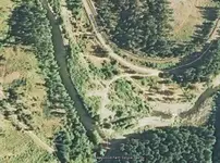
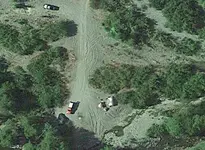
I took a look at the same area in the santa fe national forest with a couple of different satellite imaging services. With each service I was zoomed in as far as I could get in roughly the same part of the creek.
Here are the samples in no particular order:
MapQuest
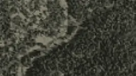
hometownlocator
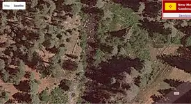
google
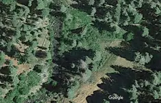
bing
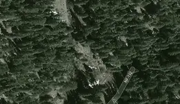
mapbox (via gaiagps.com)
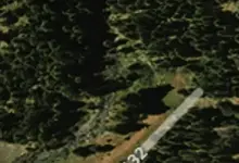
Are there any other good sources that I am missing?
For those of you that use satellite images to find good areas, what sort of methods do you use, any tips/tricks or suggested reading would be great. Im just getting into prospecting, and I always love learning new things.
Here are the samples in no particular order:
MapQuest

hometownlocator


bing

mapbox (via gaiagps.com)

Are there any other good sources that I am missing?
For those of you that use satellite images to find good areas, what sort of methods do you use, any tips/tricks or suggested reading would be great. Im just getting into prospecting, and I always love learning new things.
Last edited:
Upvote
0

