Brivic1
Jr. Member
- Joined
- Feb 20, 2013
- Messages
- 55
- Reaction score
- 66
- Golden Thread
- 0
- Detector(s) used
- A2b groundhog/ whites GM3/ Vsat, and TDI.
13hp 5" jawcrusher, Dryblower, recirc. HB.
F md-20............ Goldbug Pro / 5"and 10" coils
Whites TDI several coils............... My own dowsing tools
..
- Primary Interest:
- Other
- #1
Thread Owner
Hello there , I am just trying to fiend some layout maps of this mine.
The vertical shaft I have been told went straight down about 500 feet, into the old teriary Magalia Channel.
I have found some areas around in the location that show rounded river rock, this could have been a storring place, temporary or whatever.
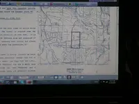
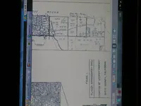
So , If any one is interested and or has some maps, we could have a bit of a chin-wag I reckon, Cheerio ..... oh yes here ar, is a couple of images /information I have dug up

Thank you and good evening
The vertical shaft I have been told went straight down about 500 feet, into the old teriary Magalia Channel.
I have found some areas around in the location that show rounded river rock, this could have been a storring place, temporary or whatever.
So , If any one is interested and or has some maps, we could have a bit of a chin-wag I reckon, Cheerio ..... oh yes here ar, is a couple of images /information I have dug up


Thank you and good evening

