OP
OP
Hal Croves
Silver Member
- Sep 25, 2010
- 2,659
- 2,695
- Thread starter
- #161
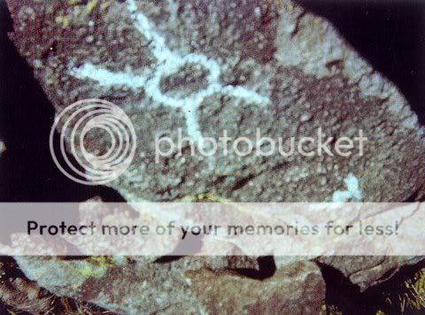
Here is an example of what I am finding now when comparing the stone and paper maps against an aerial image or, even better, the SSR topo. I am not saying that either was used to make the stones. This is only one example. If its correct, the two maps lead to the same very real place.
Its 2 dots on the stone map and a circle within a circle on the paper version.
"Treasure or possessions buried in a natural landmark"
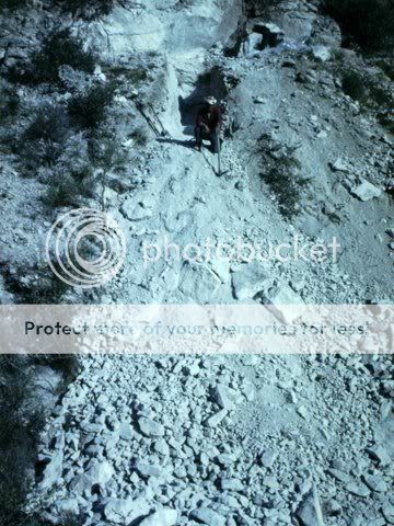
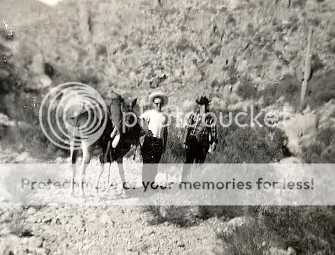
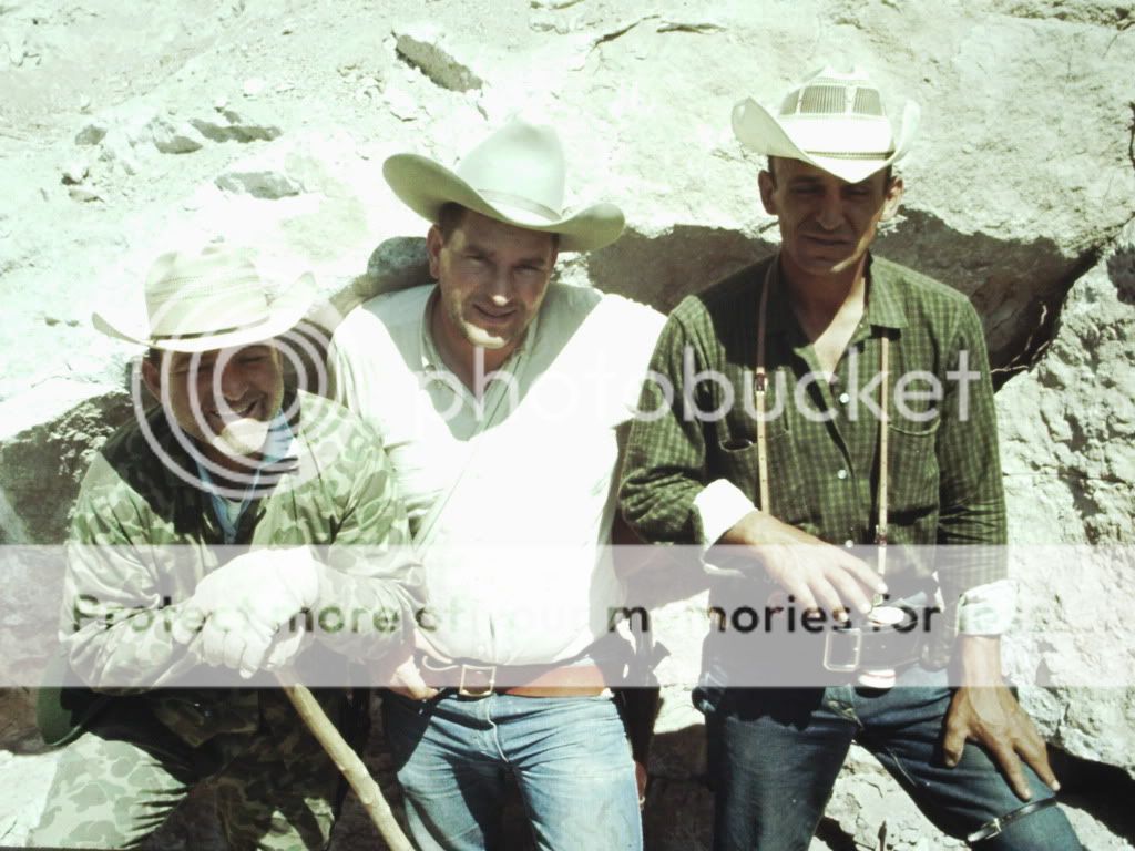
Photos of a hike to the Broadway Cave in the Superstition Mountain Wilderness
View attachment 1187999
Hundreds of people must have visited this site since the stones were first made public. Anyone familiar with it?
View attachment 1188001
Panoramio - Photo of Superstition front right cave entrance
View attachment 1188002
Panoramio - Photo of Approach to Broadway Cave
View attachment 1188003
Panoramio - Photo explorer
more:
Panoramio - Photo of View of cave from superstition foothills
View attachment 1188007
View attachment 1188004
View attachment 1188005
Stone Map
View attachment 1188006
Paper Map
If you are following, the location is called Broadway Cave and it has an interesting history.
Read this quote:
"The aged sources were living here in the mid 1900s when the story takes place. As avid treasure hunters a man and woman located hidden treasure in the Broadway Cave in the form of coins. Upon securing their treasure, they sought out information and potential buyers for their prize. They did not count on the onslaught of corrupt officials and scoundrels that appeared on scene. The pair were murdered for their find and join the list of unsolved murders, few of which were ever investigated."
"A tunnel leads about fifty feet to an abrupt end. This is the reported area where the treasure was recovered and subsequent diggings have occurred."
Hike to the Broadway Cave - the Junction Connection (Apache Junction, AZ) - Meetup