Fryy
Jr. Member
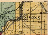
In 2001 I was a prepress tech for Scantech Color Systems in Champaign Illinois. We were asked to scan aerial photos which were taken as far back as 1937. When I left this position they were just finishing up Champaign County. Last month I was amazed to find they had scanned a good portion of Illinois. More amazed to find access to them on the web.
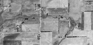
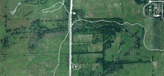
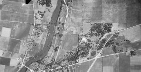
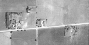
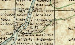
So I brought up my county and was able to figure out where I was in they old photo. When I compared it to aerial photos today, well, looks like I’ll be busy for quite sometime. We have a prairie path close to my house and had noticed traces of old roads before. So I compared those shots as you see below. I had to share this and hope it gets you Illinoisans planning your next trip. If you notice in the pictures below I now have 5 sites to explore. The white curving lines are bike paths.
Happy hunting.
http://www.isgs.uiuc.edu/nsdihome/webdocs/ilhap/county/
Let me know if you strike it rich!


 , nice to see the same enthusiasm with these photos.
