Scordisc
Tenderfoot
- #1
Thread Owner
Hi everyone,
I'm quite new in metal detecting, just bought my first detector Minelab CTX 3030 and cant wait to try it out.
I have a question for you and I hope for advice and a good discussion. Has any one used Google Earth to do some Areal Archaeology and try to define possible promising sites?
I'm not from USA, i live in Hungary in the middle of Pannonian planes. These area has been continuously populated since early Neolithic age until now. Since I have only limited amount of spare time, i have tried to find possible sight using Google Earth. This proved to be a delicate task, due to the fact there are 350 registered archaeological sites in my area and I don't want to disturb or possibly damage any of them.
Anyway during my terrain observations, i have found two possible locations that I would like to share and discuss with you. Due to my lack of experience I would appreciate any opinion.
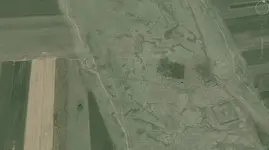
Site 1: I see ancient river with what looks like possible small settlement on the each side?

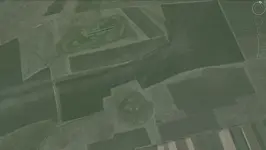
Site 2: Rectangular shape, possibly foundation, and some circular shapes in upper part of picture, possible pits?

I must say, considering second site, that none of locals remembers any object at that location, and nothing is show in maps dating 1890-1910.
I'm quite new in metal detecting, just bought my first detector Minelab CTX 3030 and cant wait to try it out.
I have a question for you and I hope for advice and a good discussion. Has any one used Google Earth to do some Areal Archaeology and try to define possible promising sites?
I'm not from USA, i live in Hungary in the middle of Pannonian planes. These area has been continuously populated since early Neolithic age until now. Since I have only limited amount of spare time, i have tried to find possible sight using Google Earth. This proved to be a delicate task, due to the fact there are 350 registered archaeological sites in my area and I don't want to disturb or possibly damage any of them.
Anyway during my terrain observations, i have found two possible locations that I would like to share and discuss with you. Due to my lack of experience I would appreciate any opinion.
Site 1: I see ancient river with what looks like possible small settlement on the each side?

Site 2: Rectangular shape, possibly foundation, and some circular shapes in upper part of picture, possible pits?

I must say, considering second site, that none of locals remembers any object at that location, and nothing is show in maps dating 1890-1910.
Last edited:


