dg39
Bronze Member
- Joined
- Mar 30, 2006
- Messages
- 1,869
- Reaction score
- 46
- Golden Thread
- 0
- Location
- Deep in the swamps of Louisiana..
- Detector(s) used
- Ace 250--White's 6000 DI Pro
- Primary Interest:
- All Treasure Hunting
- #1
Thread Owner
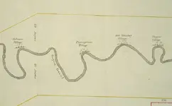
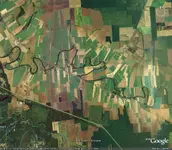
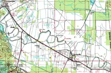
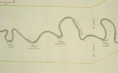
Found this old map 1805 date. No north or south orentation on it. Shows four villages on Bayou Boeuf between Alexandria, La and Cheneyville, La. My eyes cant find these curves on a Google map of aprox. the same territory, can you possibly help. Have enclosed both. Should be able to at least pinpoint where these villages are today.
A good distance referance is the 40 Arpens line on either side of the map. That should give aprox. scale.
I'm still looking myself, but so far no luck. It could be further south or above Alexandria to the North, I dont know.
Thanks!
DG
A good distance referance is the 40 Arpens line on either side of the map. That should give aprox. scale.
I'm still looking myself, but so far no luck. It could be further south or above Alexandria to the North, I dont know.
Thanks!
DG



 ?
?
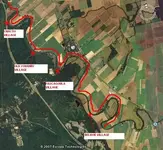
 maybe it is in louisiana
