Steve Bowser
Jr. Member
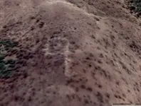
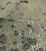
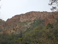
Hey Geoff, here are some photos of my hike to that area. The next photo was taken on a different hike but shows the area in question. I came in from the left and turned around at the star.Steve would absolutly know better than myself. I will note if you look at other years on GE and other imaging sources as well as lidar maps, you can clearly see that area is trees. The 2013-2016 GE images of that area do show the trees muted and more of a rock color. I could be wrong of course!
View attachment 2225480
View attachment 2225481
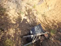
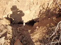
The next three photos were taken where I stopped (Star) northeast to south, kind of a panorama if you patch them together. I think I was just above the ravine in your sat images.
I started in the morning from Tortilla Flat, went over Geronimo Head, took the Land Bridge to the northwestern area of Malapais and then took the western route around Malapais. I stopped to explore a lot along the way so I was pooped by the time I made it to the star on my first photo. I want to do this trip again but continue on around Malapais to Deering Canyon, up Deering to the top of Malapais and then back to Tortilla Flat in a big loop.
Hope these photos help.
Steve