Tx7
Greenie
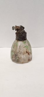
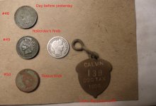
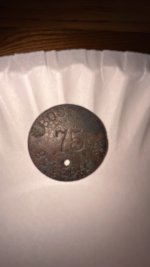
What program is being used to post edited maps here. New to the site but very interested in posting one in this forum. I have around 210 acres of land in central texas that has been in the family for many years. I have found some old coins and other relics in the past. I know dowsing is legit because as a boy my grandfather would have someone dowse for water around the old homestead. Those wells are still producing. There are several large size objects that I would love to find that I have searched for years trying to find. They were suppose to be buried here by a great uncle from Galveston back in the 20's or 30's. Not to be too specific but he ran a well known gambling establishment there, among other things LOL. Any help will be greatly appreciated. Although time has probably made the objects worthless just the feeling of saying "I found them" would be a kick. Thanks again.


