pa-dirt_nc-sand
Silver Member
I’ve been looking at a dot deep in the Parkwoods for a few years now. The hike to get to the spot is a little sketchy and the 1950s lidar photos showed that the site may have been mined over.
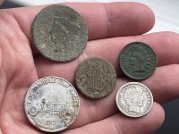
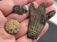
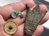
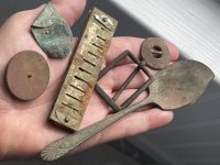
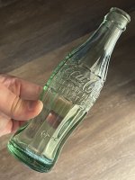
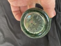
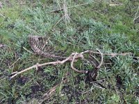
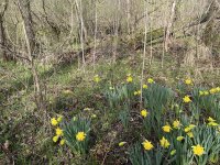
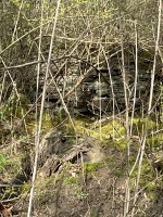
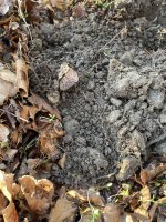
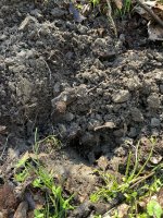
The site initially shows up in the 1860s map and by the 1960s aerials it’s gone. When I finally got to the general area on Sunday, the coal mining pit holes were evident, but also a widespread area of old glassware and pottery, signaling the homes dump area. Eventually, I spotted several areas with daffodils and tulips, which led me to the foundation walls.
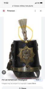
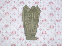
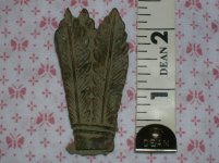
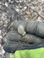
Anyone have an idea on the brass feather or fern piece? Also, the cufflink with the NSA glass or enameling was a first for me. Thanks.
Attachments
-
 IMG_8846.jpeg1.2 MB · Views: 193
 -
 IMG_8843.jpeg1.1 MB · Views: 165
 -
 IMG_8844.jpeg1.2 MB · Views: 141
 -
 IMG_8845.jpeg966.1 KB · Views: 135
 -
 IMG_8850.jpeg1.2 MB · Views: 134
 -
 IMG_8849.jpeg1.5 MB · Views: 136
 -
 IMG_8838.jpeg4.3 MB · Views: 138
 -
 IMG_8839.jpeg4.4 MB · Views: 128
 -
 IMG_8840.jpeg1.7 MB · Views: 124
 -
 IMG_8836.jpeg3 MB · Views: 121
 -
 IMG_8835.jpeg3.1 MB · Views: 119
 -
 IMG_8829.jpeg2 MB · Views: 162
Upvote
42


