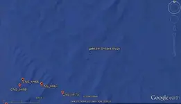
There is a Hetzel Shoals Buoy shown in GE. I was going to check the nautical charts to see what the bottom there looks like.
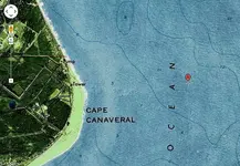
I'm adding a topo with your coords (red pin) and to the right you see a 12 ft contour line. Looks to me it would have been a certain death trap for the old sailing ships.
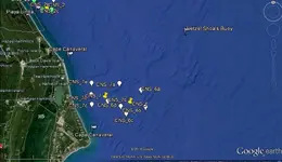
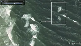
Those long dark squiggly areas, you see here in GE, I first thought probably are shadows. As it turns out these really seem to be ocean surface reflections. GE has a slider for viewing shadow effects, during different times of the day.
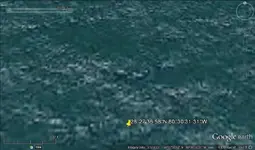
Shipwrecks will cast a shadow in GE also, but need to zoom in more than the maps I've posted. For good shadows, save your maps, then give them about -6 brightness and +12 contrast. Using historical view is good to find better images for the area you are working with, some years were much closer and higher resolution. Adding your coords in GE historical view.
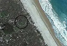
I just was messing around in GE on the shoreline, looking through the map years. Found a circular anomaly up a short distance from the beach, best map year for that spot.