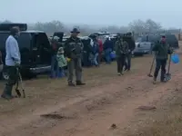
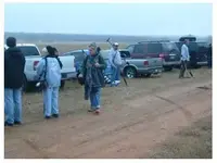
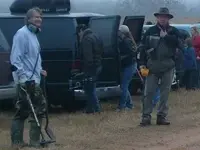
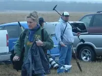
The medina hunt was alot of fun and the when we pulled up I just knew instantly that this had to be the sight, I pressed my hand aginst the window of the jeep, and I was convinced......as I could feel the payne...

.
Ok corny joke.
Actually I am sorry to report nothing indicating this to be the sight was found, about the only thing possible to the time period were a couple low caliber balls.
Alot, and I mean alot of bullets were found. No real old coins were reported either.
It was not really prime hunting conditions (though the weather was perfect). The grass was to thick, but even so if it were the field someone would have found a clue, as there were about 30 detectors there.
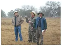
My top finds were 2 henry rifle cartridges.I dont think anything predated that.
We left around 2, so unless something else developed after I left, thats all I know of.
The local media was there and the hunt was well done and everyone behaved.
The lost battle of medina remains lost...... for now.
") I would LOVE to nail down the location of that battle! Farther west!
I would LOVE to nail down the location of that battle! Farther west!

 l!!! Awsome pics web hed.
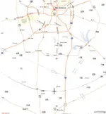
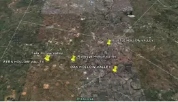

 ? that would be most intresting to know that scource.