Visual/aerial aids...

dirtdigginfool

Silver Member
Joined
Mar 8, 2014
Messages
3,580
Reaction score
4,842
Golden Thread
0
Location
south central ohio
🏆 Honorable Mentions:
1
Detector(s) used
At Pro At Max
Primary Interest:
All Treasure Hunting
Hey T-netters, I've often turned to everyone here for advice and have never been disappointed...what I'm asking now is...For all out there who use visual and/or aerial aids for locating landmarks, old house sites etc...What app, program or site do you use? Do you use the library, and how? I'm looking at "Historicmapworks.com", and would like to hear feedback, if any, from anyone who has used that site. There is a "free" version but seems very limited. Even at $125 per year, I'd pull the trigger in a hot second if I hear positive feedback, as I know just one great site would make it worthwhile. I thank you all in advance for your time and consideration. ..sincerely, Scotty-aka Ddf.
 

I like maps and there are a lot online- some cover some areas better than others do; you have to check them all out to see what works best for your area. eg, I have never been able to find a Sanborn map that covers where I hunt, but for others the Sanborns are great. Check out the mapping subforum in TN for lotsa links.
 

When I was into Relic hunting I would check out Library books on Civil War battles and Ghost towns, depending on where I was at the time. Work had me moving around a lot so I had to remain flexible.
Marvin
 

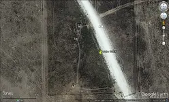
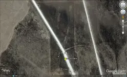
I use Google Earth. I was recently "on site" at the Battle of Adobi Walls, TX. I could not find the old building foundations. I got home and used Google Earth and learned the buildings were just north of the memorial stones. Although you cannot detect here, I sure would have liked to take pics of the buildings. ╦╦Ç

A W.webp A W 2.webp
 

Last edited:
I use nsa hidef sat photos
you have to call them and say you are a metal detector, then they give you access
 

Top Member Reactions

Users who are viewing this thread

Latest Discussions

Back
Top Bottom