What's new

What is This?

pattymi770

Greenie
Joined
Apr 15, 2016
Messages
16
Reaction score
9
Golden Thread
0
Location
mi
Primary Interest:
All Treasure Hunting
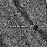
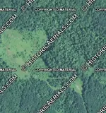
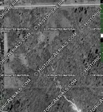
Ive been viewing aerial maps of my area I have come across something odd, maybe some one knows what this is.. 1.webp2.webp3.webp
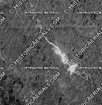
First picture is from 1958
second is from 1965
third is from 2012
 
Almost looks like there was a dam in the first picture, you might as well check it out and detect the flat spots:)
 
do not believe its a damn, there is a road right after this, could it have been a fire you can see it scattered in different spots.
 
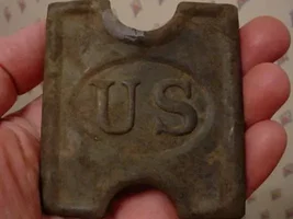
4.webp

heres a picture of the end of it and a road
 
Looks like a body of water. Maybe the sun was at the correct angle to reflect on it when the aerial pic was taken?
 
Could have been a beaver dam that has since been removed
 
Top secret government stuff, KEEP OUT !
 
Poor detail. Might want to check it out on Google Earth if you know
where it is.
 

Users who are viewing this thread

Back
Top Bottom