Shortstack
Silver Member
- Jan 22, 2007
- 4,305
- 416
- Detector(s) used
- Tesoro Bandido II and DeLeon. also a Detector Pro Headhunter Diver, and a Garrett BFO called The Hunter & a Garrett Ace 250.
- Primary Interest:
- All Treasure Hunting
Moons:
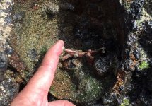
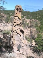
Doesn't that second photo (above) kinda resemble a totem?
Doesn't that second photo (above) kinda resemble a totem?


")

 ..'nother page in my field notebook..