John_Arizona
Hero Member
- #1
Thread Owner
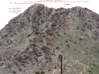
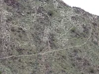
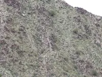
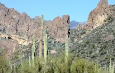
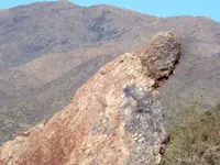
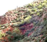
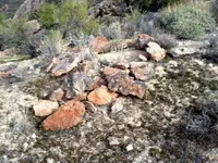
Formidable Places

33°32'41.76"N 111°20'21.70"W
33°20'48.18"N 111°13'21.58"W
if you wanna go hiking, let me know
33°32'41.76"N 111°20'21.70"W
33°20'48.18"N 111°13'21.58"W
if you wanna go hiking, let me know


Attachments
-
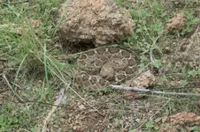
 DSC00349 copy.webp430.3 KB · Views: 178
 -
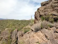
 DSC00317 copy.webp178.6 KB · Views: 179
 -
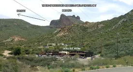
 DSC00363 copy.webp495.7 KB · Views: 156
 -
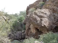
 DSC00264 copy.webp488.2 KB · Views: 168
 -
 DSC00221.webp372.2 KB · Views: 196
 -
 DSC00223 copy.webp246.4 KB · Views: 178
 -
 DSC00223 small.webp279.8 KB · Views: 157
 -
 DSC00097 copy.webp233.8 KB · Views: 166
 -
 DSC00183 copy.webp106.2 KB · Views: 157
 -
 DSC00070t-copy.webp79.5 KB · Views: 159
 -
 DSC00053 copy.webp203.7 KB · Views: 163
 -
 horse_priest.webp108.9 KB · Views: 147
 -
 DSC00054copy.webp172.2 KB · Views: 156
 -
 DSC00199.webp250 KB · Views: 166
 -
 DSC00057 copy.webp174.9 KB · Views: 165
 -
 DSC00055 copy.webp130.6 KB · Views: 165
Last edited:


")