Novak5001
Tenderfoot
- Joined
- Jun 1, 2018
- Messages
- 4
- Reaction score
- 0
- Golden Thread
- 0
- Primary Interest:
- All Treasure Hunting
- #1
Thread Owner
Hello,
Although this doesn't exactly pertain to shipwrecks, I hope you all can give me some advice.
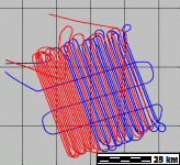
I am working on an underwater mapping project (mapping locations of inundated towns). The location I am currently looking at is under about 70-80 feet (20-25 meters) of freshwater. I will be using a Lowrance HDS12, but if I want to get any imagery worth looking at, I was advised to use a towfish and run the transducer about 20-30 feet (5-10 meters) off of the bottom. I will be primarily mapping an area about 1 square mile in size (1.6 square km). There will be a lot of stopping and turning.
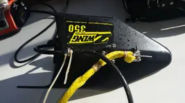
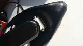
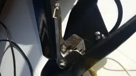
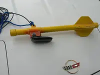
Since I will only be using this once, I am looking for a cheap and quick solution. I found some good ideas for design on the Humminbird Side Scan forums. My biggest challenge will be to find a reasonably priced transducer and cable. The Humminbird forums are not as active as here and I noticed some of the same people on both boards, that's why I am posting here.
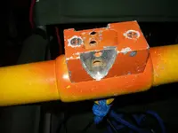
Since GPS accuracy is critical to this project, I am considering using a simple downrigger setup: stick the transducer on a heavy pipe, lower it strait down over the side, make slow passes over the target area. Has anyone used something like this? Does it work? Is it a waste of time?
I know most of you are Humminbird folks, but does anyone have experience with the Lowrance units? What kind of imagry should I expect at those depths? Any suggestions on what to use for range?
Thanks!


