1320
Silver Member
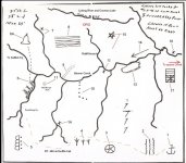
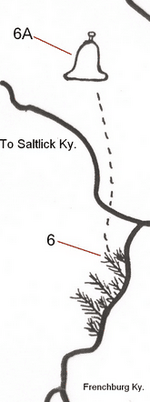
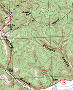
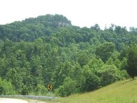
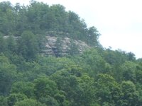
In Menifee County. Looks more like a bell when the leaves are off. Hard to tell by the images but this is a rounded cliff face. Going southwest on the blue lines takes you into Suiters Branch. If you rotate the topo map just slightly counter clockwise (or rotate the Swift Map clockwise), it looks like a match. I think the dashed lines on Swifts map could show a trail to the bell. The tree drawings could mean a rough road, thick with brush and/or trees and you must go on foot from this point? Heck, I don't know...just throwing something out there......
Amazon Forum Fav 👍


Attachments
Last edited: