RelicHunter97
Hero Member
- Joined
- Sep 10, 2010
- Messages
- 700
- Reaction score
- 297
- Golden Thread
- 1
- Location
- Western Massachusetts
- 🥇 Banner finds
- 1
- Detector(s) used
- White's MXT
- Primary Interest:
- Relic Hunting


 They probably feed at the middle or end of the lane.
I guess the images here in Everglades region are nowhere near as detailed as what you have. No way can I see an individual tree. Maybe some day in the future..RelicHunter97 said:No, Actually I just use Bimg maps, satellite mode with angled view and I can zoom in pretty close.
bigcypresshunter said:I guess the images here in Everglades region are nowhere near as detailed as what you have. No way can I see an individual tree. Maybe some day in the future..RelicHunter97 said:No, Actually I just use Bing maps, satellite mode with angled view and I can zoom in pretty close.

Stegner said:Dude,
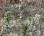
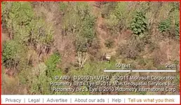
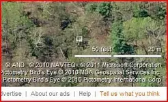
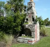
I am so rooting for it being a chimney but think its a deer stand, like several of the others. Time to mark this one solved, or do you want to wait for the melt and let us all know then?
As for maps, I just found a Google Earth add-on - check for it as a recent post under the "Maps" forum - it takes old (100 years or so??) old topographical maps and lets you overlay them onto the spot you see on Google Earth. This is really good because the topo maps show dots where all the houses were - find a dot where woods are today, and you have yourself a day's adventure planned for spring. I have 5 new ones after spending just 3 hours with this tool. Woot. Woot.
I think its too remote and too sparcely populated for any interest. I thought they are taken by satellite.RelicHunter97 said:bigcypresshunter said:I guess the images here in Everglades region are nowhere near as detailed as what you have. No way can I see an individual tree. Maybe some day in the future..RelicHunter97 said:No, Actually I just use Bing maps, satellite mode with angled view and I can zoom in pretty close.
Mayybe...this is just a thought...since it is a protected area they weren't allowed to fly the planes over to take the photographs? for risk of crashing or pollution?