Hello Whiskeyrat.
Great subject matter and great discussion, in general...
Having never been on any of those trails, I have taken more out of the great well of knowledge than I can pay back.
However, I will try.
Most of what I was taught about trail tracking, before I came to TNET, was from one man that learned most of what he knew from his parents. He had been on some of the trails that were discussed here.
He taught me that all trails are marked with the same basic markings, but they also have their own signature markings that were still traceable from the point of departure from the sea, on to land. Based on the first documents to be filed.
He also said that it was not uncommon for the next expedition to hit the ground would pick up their trail, to see if they were using the signs correctly, and if the first party were using misleading signs, the expedition leader was to be executed, and his (1) crewmen and tools and wealth ,became his (2) crew and tools and wealth.
It seemed a bit harsh, but it also seemed to be self governing from the authority of the King.
No matter how much salt or cinnabar, the truth would catch up eventually.
My site, in the southern edge of the Ozarks has more than it’s share of signs and symbols and monuments.
Thick forests, record breaking rain, snow, and ice storms have made their marks on many of its most significant markers. Usually shortly after being documented. I have been very fortunate, to have been witness to their existence.
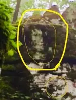
Some are easily recognized and others were discovered in photos.
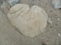
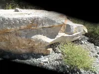
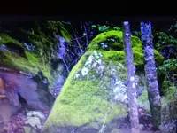
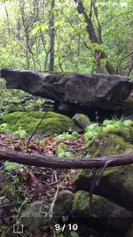
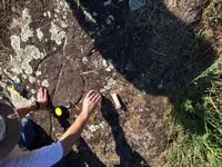
In the first post, you asked for photos.
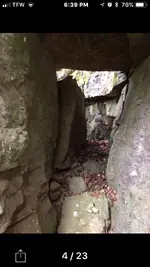
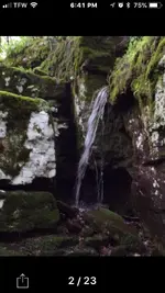
I have a few that might apply to your search....
,
,
,
,
,
,
,
Most of those photos were taken by my partner, Weekender, during the last three trips to our site.
I hope they help you.
#/;0{>~


