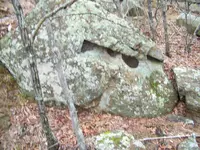
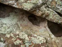
This is just my opinion and it seems to work in the field, The different measurements for a pace / vara / from 29 to 36 or what ever they are may not represent those years / area and so forth may indicate what you are looking for roads along and near the river and probably other places a road may have a 30 inch for its measurement in paces and the drill hole that represents a road will have a flat bottom ( who would have thought that ) a Royal Trail will have different vara measurement, a settlers square league will have a 33 inch measurement vara the measurement between vaults haven't been determined, from the vault ( main Bank ) to a Branch Bank ( square League ) can and will be measured and determined later, they seem to have a the area around the rivers sectioned off as being State land and anyone can use it. Just having a blast, The roads follow the easies route and they were marked with drill holes with flat bottoms, seem to indicate there will Not be any Symbols, Carvings, or Markings between those type of carvings,, got to do it your self, the smaller ones used in other situation's have the same meaning, The word that I was looking for was easement from the River to the road area along where it will be out of the flood zone.


