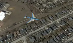
I have used Google Earth, and have had both good and bad luck.
The biggest issue is the resolution, albeit better than it was several years ago. You can't see objects smaller than about 15 to 20 feet across. However, it did help me pinpoint a location by comparing the aerial view against a DeLorme topographical map. That's essentially how I found the correct location for the ghost town of Globe, NM.
I've mentioned this before, but it needs repeating here. Old historical maps are almost never accurate. Of the three maps I downloaded looking for the correct location of the aforementioned ghost town, only one was close if you can call 2 miles close!