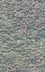
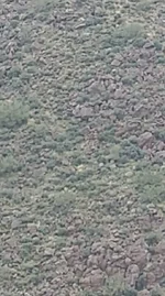
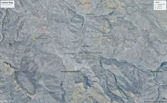
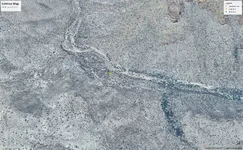
IdahoDutch your information is awesome and very detailed. I downloaded Google Earth Pro to try and get all your map info posted. I wanted to see it in a full screen. Are these pictures correct based on your maps you posted? I went with the full view on the first pic based on Weavers Needle being a clue to the South. Then made a map pic north based on your two posts. Let me know how wrong or close to and I can adjust them.
I also wanted to ask a question on the Waltz map you posted. Is it meant to be sideways as is? Or rotated so the Star N points northerly?
Thanks
Chris
Hello Chris,
Typically, but not always, if you are looking at a map, and North is not shown, the next indicator is the TITLE of the map. When looking at the map, turn it so the title is correct (not upside down, or sideways).
North should be at the top.
In this case, “The Waltz Map” appears to be the title of the map. Holding the map so the title is correct for reading, puts North at the top.
When holding the map with the Title ready to read, the sideways “N” is a mystery. Otherwise it could be a “Z” as well.
The star was a marker on top of the giant rock pile, showing location of Waltz’ mine. It indicates the location of the tunnel opening directly below.
The pin location on your first Google earth image, for the star, is actually near the north end of the saddle, near where the arrow of the waltz map is pointing.
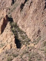
Below is a Google earth image, looking South into the region of the Waltz map.
The lower left corner, where the saddle is dropping down into needle creek … just left of that corner, is about where you put the pin for the star. The star location in this G.E. Image, is actually almost dead center of the image.
I hope this helps. 👍